Dissertation von Dipl.-Inf. Stefan Kurzbach
2014 (ISBN 978-3-941492-75-2)
Summary
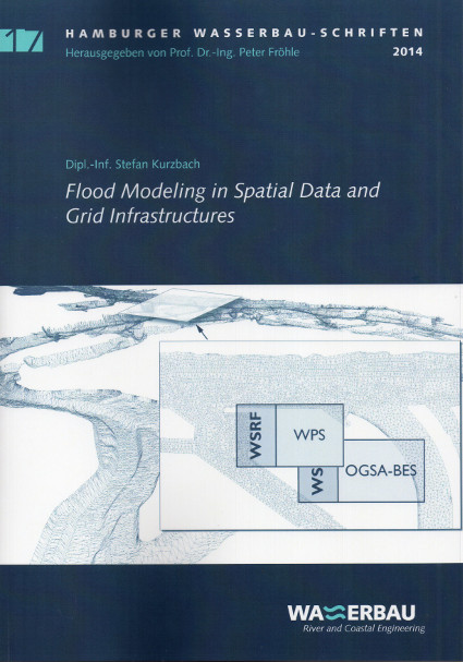
Spatial data and grid infrastructures manage distributed geographic data, computing, and storage resources from different organizations without centralized control. However, these two infrastructures have evolved separately and use different open standards. This thesis makes a contribution to the implementation of such open standards from spatial data and grid infrastructures in the field of flood modeling. In a first step, and for the first time ever, the process of flood modeling by two-dimensional hydrodynamic simulation — flow model discretization, flood simulation, and results evaluation — is formalized as a sequence of geoprocessing tasks. These geoprocessing tasks are then implemented as geoprocessing grid services. To achieve this, two standards commonly used in spatial data and grid infrastructures, the Web Processing Service (WPS) and the Web Services Resource Framework (WSRF), are harmonized. This harmonization results in a generic procedure for the creation of geoprocessing grid services called Grid-WPS.
This procedure is evaluated by two prototypical implementations of flood modeling tasks. The first prototype, a flow model discretization service, employs a new strategy for the parallel creation of large, unstructured, two-dimensional computational meshes based on a high-resolution digital elevation model. Through the application of grid technology, it is shown how large volumes of geographic data from a spatial data infrastructure can efficiently be processed in a distributed computing environment using a geoprocessing grid workflow. The second prototype, a flood simulation service, further demonstrates how to execute a large-scale hydrodynamic simulation on multiple distributed clusters in a grid infrastructure with application of a two-level parallel domain decomposition approach.
Together, the flow model discretization service and flood simulation service provide an efficient technology for mapping flood hazards. By adhering to the presented Grid-WPS procedure, the developed services are enabled to coexist in both infrastructures. In this way, they can make use of the provided resources and can also easily be reused in the context of other grid applications or geoprocessing workflows.